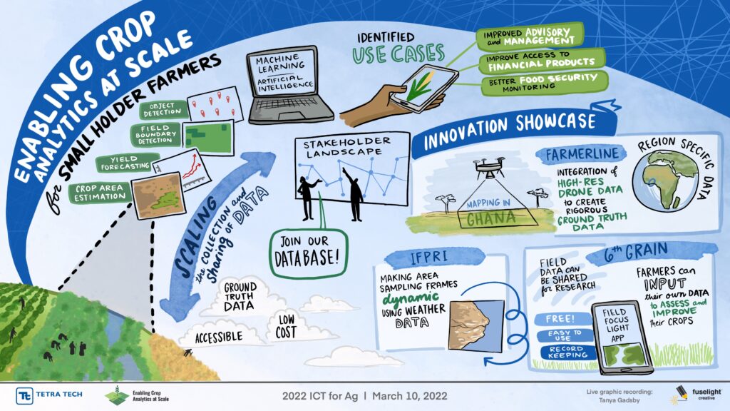
Enabling Crop Analytics at Scale
ENABLING CROP ANALYTICS AT SCALE (ECAAS) is a multi-phase initiative that aims to catalyze the development, availability, and uptake of agricultural ground and remote sensing data and applications in smallholder production systems. Learn more about us here.
We encourage organizations working in the crop analytics landscape to participate in our Network Survey. Participants who complete the survey can also be included in the searchable database. This database serves as a resource that organizations in the crop analytics landscape can use to find one another and further network.
Click here to take the Network Survey
Resources

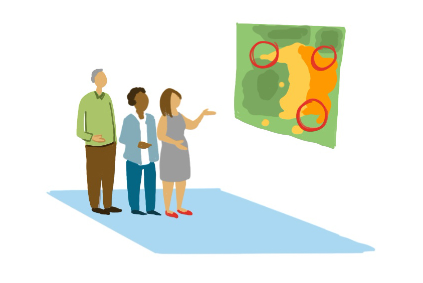
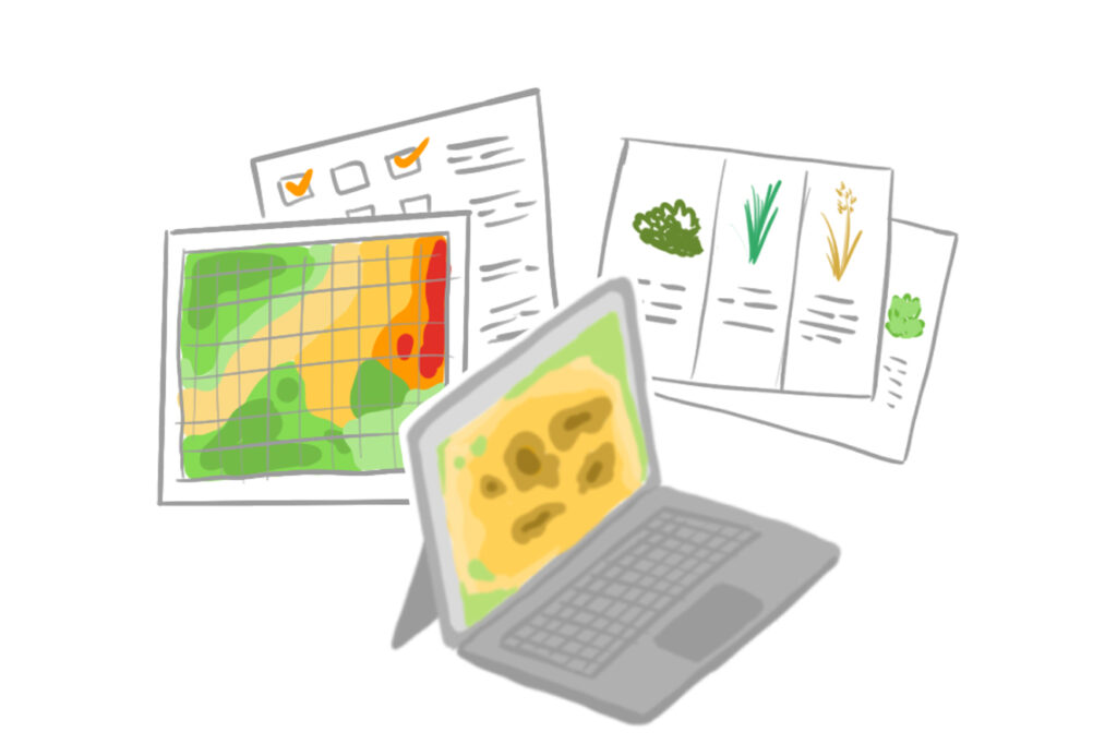
Stakeholder Landscape Assessment
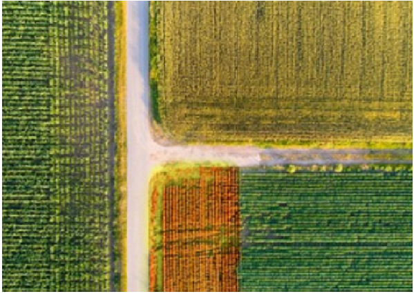
The Stakeholder Landscape Assessment identifies and maps the ecosystem of public, private, and civil society organizations operating in the crop analytics space for smallholder agricultural systems.
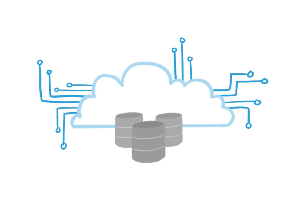
Stakeholder Database
The ECAAS Stakeholder Database includes information on nearly 200 organizations working in agricultural ground data collection, processing, sharing, use, and application.
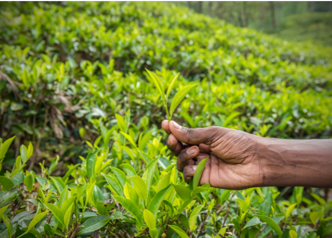
State of the Science for Ground Truthing in crop Analytics
The State of the Science Report reviews the use and collection of ground truth observations to enable crop analytics. The report focuses on three key crop variables: field boundaries, crop type, and yield estimation.
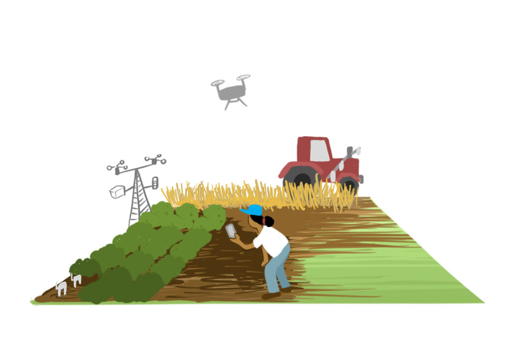
ECAAS Field Mapper Survey Form
ECAAS is excited to announce the release of the ECAAS Field Mapper for Agricultural Data Collection. Designed and improved through consultations, the new toolkit is equipped with improved user support features and modifications for easy data capture. Please, check out the new form and deploy the tool with your own data capture efforts!
Innovation Investment Priorities for Smallholder-focused Crop Analytics
The AGData Acceleration Facility Innovation Agenda outlines priority areas of innovation for advancing smallholder-focused crop analytics.
Project Innovations
Open-Source Workflows for Crop Type Mapping in Africa
This final report documents an end-to-end workflow that enables users to collect representative crop-type data, train ML models, and use trained models to create crop-type maps over an area of interest. The workflow is easily adaptable, open, and freely available to all Digital Earth Africa Sandbox users.

Improving Data Collection – Rwanda Case Study
This final report compares three ground-truth data collection methods against cost, speed, and model performance to determine the best overall technique for streamlining ground truth data collection in Rwanda.

Data Sharing Platform Enhances the Value of Farm Data Across Sectors
This project focused on engaging private-sector organizations to pilot a scalable platform for sharing high-quality ground data on African agriculture. Read more about how their application is breaking down barriers to data sharing.

Human-Centered Design for Scalable Approaches to Field Data Collection
Read 6th Grain’s final report to see how they overcame challenges and delivered state-of-the-art agricultural mapping services to Kenyan farmers.
Digital Boundary Mapping for Smallholder Farmers
Read initial lessons learned from our Scalable Agriculture Data through Conversational Record Keeping project led by 6th Grain and farm.ink.

Introduction to Crop Production Analytics
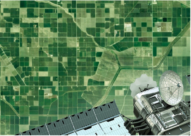
Field-based crop cut experiment (CCE) data is a gold standard of ground truth data for crop analytics, yet it is time-consuming and challenging to scale over large areas. Satellite remote sensing-based estimates can cover a large area, yet their accuracy is highly subject to the availability and quality of ground truth data.
Read an introduction about the project about the project, and learn more about how Dynamic Area Sampling Frames and 3D Smartphone Imaging can improve the value and utility of ground truth data for improving crop production analytics.
Crop Type Maps – Lessons Learned
This project collects crop-type data in order to test its sustainably over large areas. Read the initial lessons learned from the gathering crop type maps for Maize and Rice by Farmerline and Clark University
Service Scale-Up Plan
Farmerline and Clark University provide plans to scale efficient delivery of farmer/farm extension services directly to smallholders. Read more about their work in Ghana.