Streamlining Ground-Truth Data Collection using Drones and Machine Learning
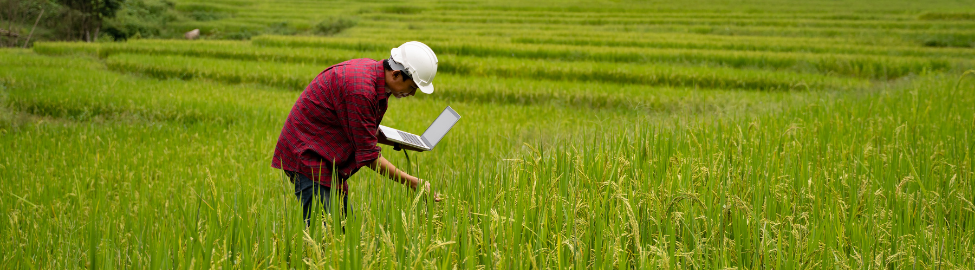
A key challenge for the crop analytics community is generating accurate ground-truth data rapidly and at a low cost. This project will assess the potential for using drone imagery in Rwanda to create faster and less expensive ground-truth datasets for crop and yield estimate models without decreasing their accuracy. RTI and the team will generate ground-truth data in three ways: (1) using conventional methods to collect ground observations, (2) using drone imagery and a web-based viewer to generate label points, and (3) using ground-truth observations to densify the number of locations using computer labeling. The project will compare the three approaches for cost, speed, and model performance.

Rwanda

James Cajka, Research Triangle Institue (RTI)
Robert Beach, Research Triangle Institue (RTI)


Improving Data Collection – Rwanda Case Study
This final report compares three ground-truth data collection methods against cost, speed, and model performance to determine the best overall technique for streamlining ground truth data collection in Rwanda.
October 2022