Agricultural Ground Data (AGData) Acceleration Facility
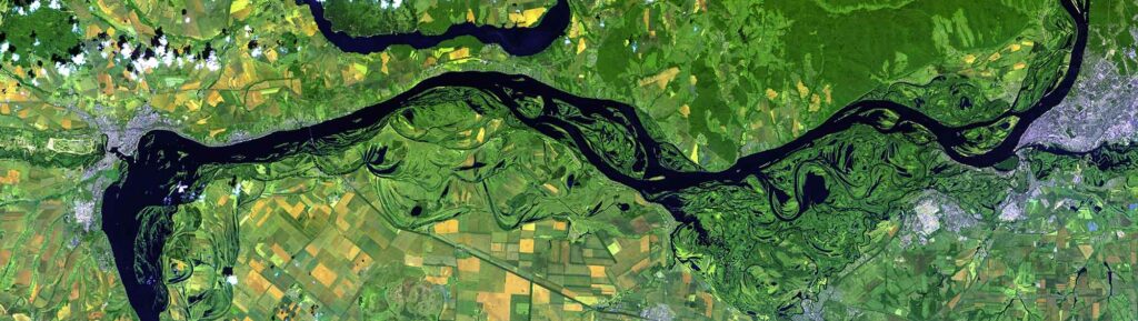
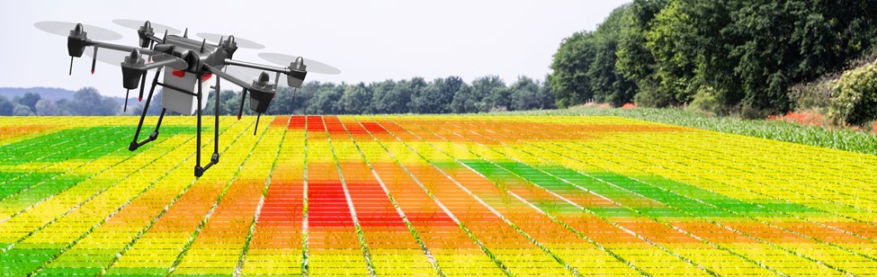
The AGData Acceleration Facility leverages recent advances in crop analytics that integrate remote sensing and other data using artificial intelligence (AI) and machine learning (ML)with the goal of making these tools available to public, private, and research actors working to support smallholder farmers to improve their productivity, resilience, and sustainability.
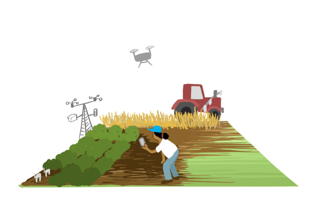
The Facility prioritizes four innovation areas:
- Standardized data collection tools, quality standards, and alternative data sources.
- Methods and systems for semi-automated ingestion and processing.
- Tools, standards and methods for data storage, exchange, and addressing privacy.
- Model training, calibration, and validation.
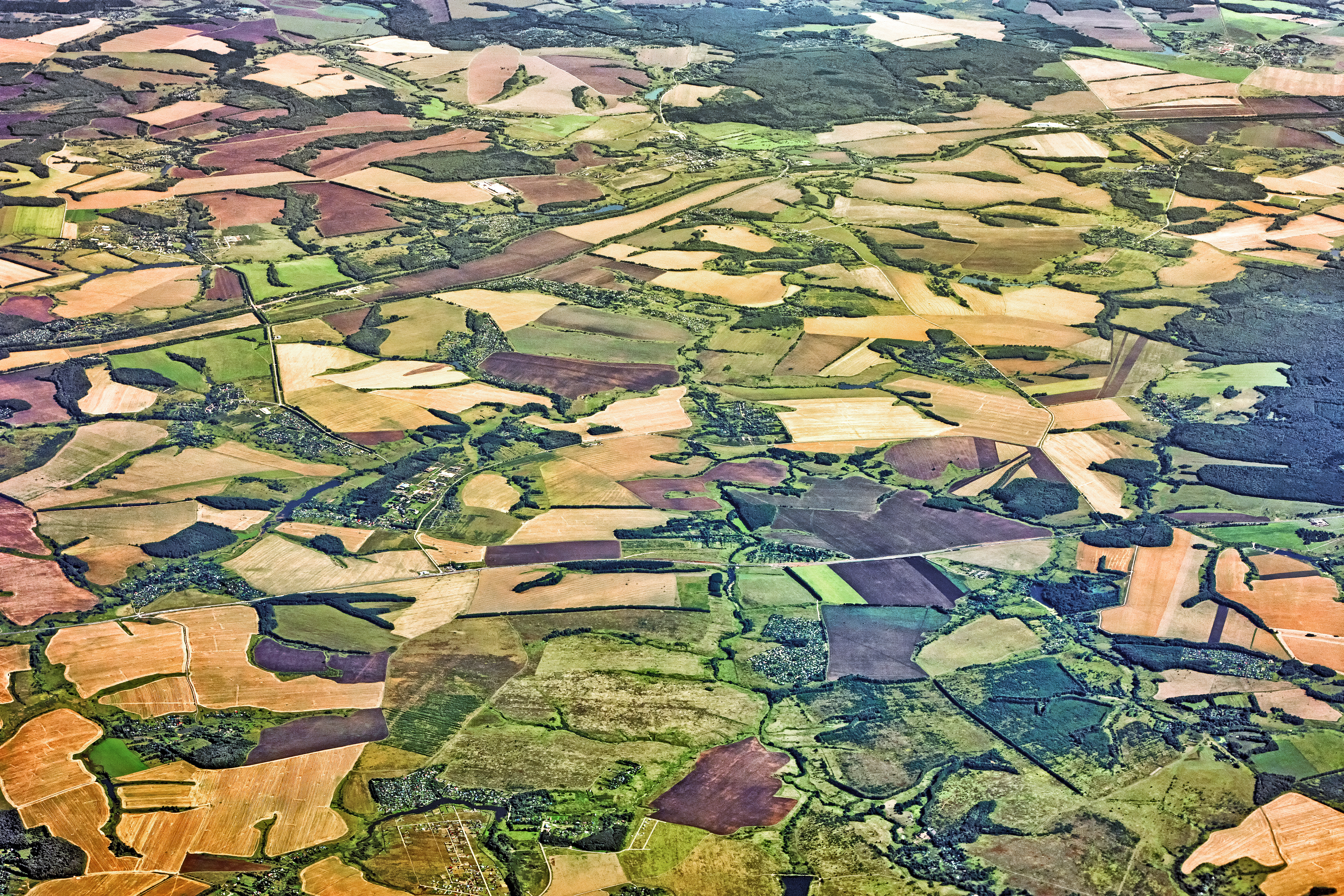
Innovation Agenda
Innovation Investment Priorities for Smallholder-focused Crop Analytics
The AGData Acceleration Facility Innovation Agenda outlines priority areas of innovation for advancing smallholder-focused crop analytics.
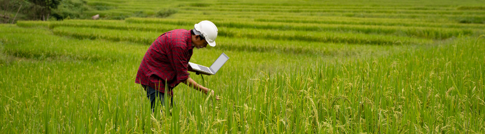
Funded Innovations
AgriFieldNet: Benchmark Training Data for Field Boundary and Crop Type Detection
This project focuses on generating benchmark training datasets for the development of a baseline model focused on field boundary and crop type detection in Kenya.
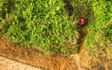
Streamlining Ground Truth Data Collection Using Drones and Machine Learning
This comparative study of three ground-truth data collection methods looks at cost, speed, and model performance to determine the best overall technique for streamlining ML Model training.
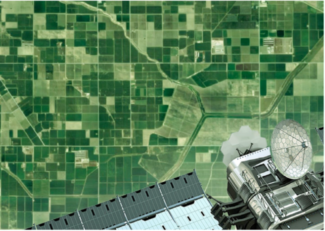
Enhanced datasets for remote crop monitoring in Kenya and Zambia
This project creates field-based data sets using remote sensing to train machine learning models for improved insights into the impact of weather and farm management behaviors on farmers’ overall yields and productivity.
Optimizing Crop Yield Data Collection for Supply Chain Enhancement
This project will collect high-quality datasets to capture yield and other field characteristics in smallholder rice fields in Tanzania.
Creating Open Agricultural Maps and Groundtruth Data to Better Deliver Farm Extension Services
This project improves agricultural extension services for African smallholder farmers while providing a scalable, sustainable model for generating open agricultural maps and groundtruth data.
Next-Generation Crop Production Analytics Using Smartphone 3D Imaging and Dynamic Area Sampling Frames
This project leverages cutting-edge remote sensing and geo-statistical techniques to address the dual issues of inefficient ground-truth sampling design and inaccurate in-field crop yield measurement methods.
Scalable Agriculture Data through Conversational Farm Record Keeping
This project utilizes mobile chatbot technologies to gather low-cost and high-quality field data and digital boundaries to provide crop management recommendations and transform cropped area maps into yield estimate maps for maize.