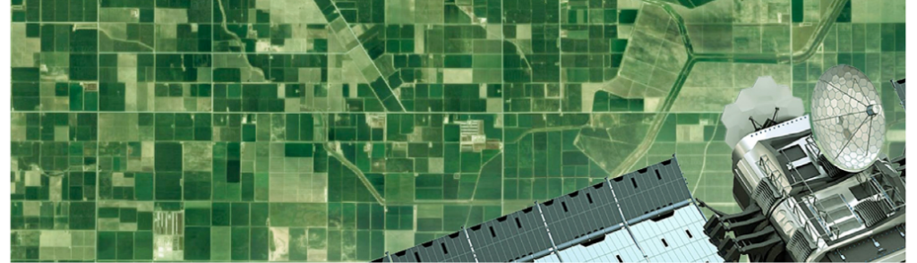
Next-Generation Crop Production Analytics Pilot
This project leverages cutting-edge remote sensing and geo-statistical techniques to address the dual issues A new two-stage crop production analytics approach piloted in this project leverages cutting-edge satellite remote sensing and geo-statistical techniques to address the dual issues of inefficient ground-truth sampling design and inaccurate in-field crop yield measurement methods. The project team piloted spatially detailed weather information to cue field data collection over areas of high in-season variability, analyzed using long-duration temporal NDVI profiles. At the field level, a smartphone-based 3D imaging technique was used to expedite the collection of crop yield measurements without cutting crops. These data will be used along with photos of the crop to train a deep-learning model to estimate yield, which can then be bootstrapped for use in smartphones.

India (Odisha and Telangana States)

Jawoo Koo, International Food Policy Research Institute (IFPRI)
Kees de Bie and Andy Nelson, University of Twente/ITC
Srikanth Rupavatharam, International Crop Research Institute for the Semi-Arid Tropics (ICRISAT)
Drew Marticorena, aWhere


Next-Gen Crop Production Analytics Reports
Field-based crop cut experiment (CCE) data is a gold standard of ground truth data for crop analytics, yet it is time-consuming and challenging to scale over large areas. Satellite remote sensing-based estimates can cover a large area, yet their accuracy is highly subject to the availability and quality of ground truth data. To address these two interlinked challenges, IFPRI, University of Twente/ITC, ICRISAT, and aWhere developed a two-stage pilot project and applied it in Odisha, India.
Read an introduction about the project, and learn more about how Dynamic Area Sampling Frames and 3D Smartphone Imaging can improve the value and utility of ground truth data for improving crop production analytics.
November 2021