Open-Source Framework for Crop Type Mapping in Africa
While earth observation (EO) data is a powerful tool in support of improving food security, it is limited by the lack of a systematic, end-to-end approach based on a scalable and sustainable open data infrastructure. The goal of this project is to create an open-source framework that allows for future innovation in the development of EO solutions for increasing food security, which can be extended and scaled to other regions in Africa.
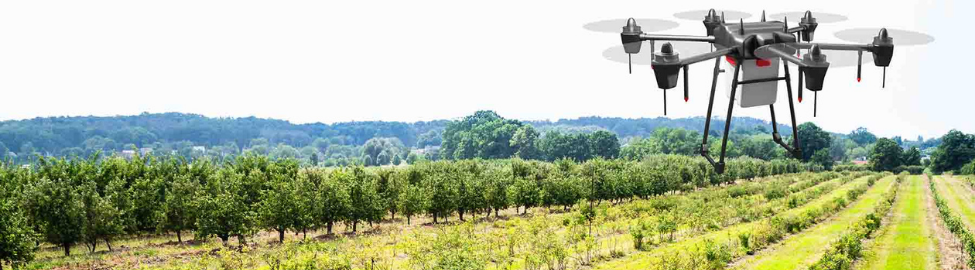
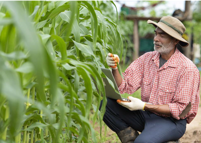
The project uses the Digital Earth Africa platform to create an end-to-end workflow, driven by the African GEO community and stakeholders across the continent through an established process of co-production within the Digital Earth Africa Product and Validation Task Team. Digital Earth Africa will develop and test the workflow in partnership with the Regional Centre for Mapping of Resources for Development (RCMRD) for a priority use case focused on crop type mapping in Zambia. The proposed framework would allow users to upload ground truth data, collected using the newly developed Enabling Crop Analytics at Scale (ECAAS) ODK toolkit, directly into the Digital Earth Africa platform to create crop-related EO products that address food security issues.

Zambia

Dr. Meghan Halabisky, Digital Earth Africa and Group on Earth Observations (GEO)
David Ongo, Regional Centre for Mapping of Resources for Development (RCMRD)

Open-Source Workflows for Crop Type Mapping in Africa
This final report documents an end-to-end workflow that enables users to collect representative crop-type data, train ML models, and use trained models to create crop-type maps over an area of interest. The workflow is easily adaptable, open, and freely available to all Digital Earth Africa Sandbox users.
October 2022